
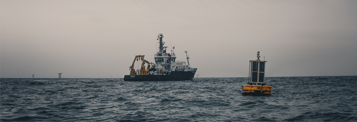
 The network of ICOS ocean stations provides long-term observations from 26 stations in 10 countries (as of June 2026). The stations monitor carbon up-take and fluxes in the Atlantic Ocean including the North, Barents, Baltic and Mediterranean Seas. The monitoring is taking place from research vessels and commercial ships, which are called Ships of Opportunity (SOOP), and from moorings and buoys, which are called Fixed Ocean Stations (FOS). They have all been equipped with state-of-the-art carbonate system sensors and instruments.
The SOOP are moving platforms, which operate regular, repeated ship routes on the European shelf and marginal seas and open ocean routes. These stations provide near-real-time surface ocean and atmospheric data.
The FOS are fixed sites which are situated in the open ocean and in coastal waters. They are able to provide near-real-time data that also contain information from greater depths, for example, about temperature anomalies. These platforms require visits from well-equipped research vessels at least once a year for maintenance. Coastal FOS can be equipped with shore-based towers called Marine Flux Towers (MFT) for direct flux measurements. Such mixed stations, by nature, serve both the ocean and ecosystem community.
At each ocean station, a number of researchers, technicians and others work in varying and often challenging conditions. Each station is managed by one or several Principal Investigators (PI). The network of PIs from the ocean ICOS stations is called the Ocean Monitoring Station Assembly (MSA), which aim is to discuss, develop and improve the scientific and technical bases of the observations at the ocean stations.
the ocean stations are standardised to some extent, utilising similar methodologies and equipment. The labelling document for ocean stations (found here) describes recommendations on the best methods for making the measurements through to quality control and management of the data. All labelled stations have an ICOS agreed data quality and will use exactly the same procedures for submitting the data.
The data collected at the ocean stations are processed and quality controlled by the Ocean Thematic Centre (OTC) with help from the web-based quality control system QuinCe.
The map below shows where the ICOS ocean stations and ship routes are located:
Last updated: 2023-12-05